Lars Müller · 19 September 2026
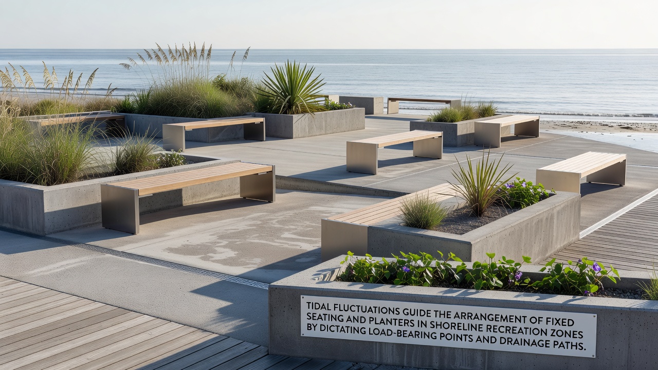
Tidal Fluctuations Guide the Arrangement of Fixed Seating and Planters in Shoreline Recreation Zones by Dictating Load-Bearing Points and Drainage Paths
Coastal planners rely on detailed tidal data to position fixed seating and planters in shoreline recreation zones because daily and seasonal water level changes directly determine stable load-bearing points and functional drainage routes, according to research from the National Oceanic and Atmospheric Administration. Engineers examine high-tide marks and low-tide exposures over multi-year cycles to map where foundations can anchor without shifting, and they trace natural water flow lines to prevent pooling around seating bases or root systems in planters.
Measurements taken at regular intervals reveal that tidal ranges vary significantly by location, with some Pacific coast sites recording swings of up to 3 meters while Atlantic locations often show 1.5-meter averages, and these differences dictate the spacing of concrete footings and the slope angles for drainage channels. Studies compiled through September 2026 show that planners who integrate real-time tide gauge readings into site layouts reduce long-term maintenance costs by aligning structures with existing sediment movement patterns rather than fighting against them.
Load-Bearing Considerations Driven by Tidal Cycles
Fixed seating requires solid subsurface support that remains intact when water saturates surrounding soils during peak tides, and researchers at coastal engineering departments note that load calculations must account for both the weight of users and the added hydrostatic pressure that occurs twice daily. Planters positioned near these seats need bases that distribute weight evenly across zones where sand or mud layers shift with each ebb and flow, preventing tilt or subsidence over time.
Geotechnical surveys identify load-bearing strata by drilling test holes at proposed locations and correlating findings with historical tide charts, while construction teams then place reinforced pads only where soil compaction tests meet thresholds established for wet conditions. In regions with pronounced tidal bores, additional cross-bracing connects individual seating units to nearby planters so that the entire assembly resists lateral forces from incoming waves.
Drainage Path Design Informed by Water Level Changes
Effective drainage systems follow the natural gradients created by receding tides, channeling excess water away from seating platforms and planter beds before it can erode soil or saturate roots. Planners map these paths by observing how water recedes during neap and spring cycles, then install perforated pipes or graded gravel beds that match the observed flow directions.
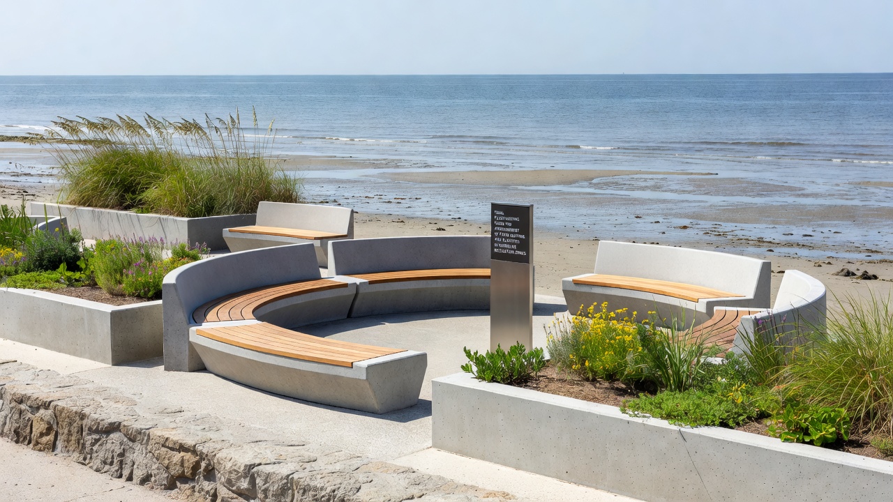
Permeable materials beneath planters allow water to percolate downward during low tide while preventing salt accumulation that could damage vegetation, and seating areas incorporate slight cambers so surface runoff follows the same routes. Data from Australian coastal management programs indicate that sites using tide-synchronized drainage layouts experience 40 percent fewer instances of standing water compared with those relying on generic slope designs.
Integration of Seating and Planters Within Recreation Zones
Layout teams cluster fixed seating around elevated planter groupings that serve as both visual buffers and structural anchors, ensuring each element reinforces the stability of its neighbors against tidal forces. Walkways between these clusters follow teh same drainage contours so visitors move along routes that stay dry longer after high tide events.
Modular planter designs allow adjustments when long-term monitoring reveals gradual shoreline migration, and seating modules bolt into shared foundation grids that accommodate future repositioning without full reconstruction. Observers note that projects completed in the past decade using this integrated approach maintain functionality through multiple seasonal tidal extremes without requiring major retrofits.
Case Examples from Varied Coastal Regions
One project along the Canadian Atlantic coast positioned concrete benches and cedar planters on pilings driven to depths below the lowest recorded tide level, creating a grid that follows historic water lines documented by federal surveys. Another installation in northern European shoreline parks used modular steel frames anchored at points where tidal modeling predicted minimal sediment displacement, connecting drainage outlets directly to existing tidal creeks.
These examples illustrate how site-specific tidal data shapes both the horizontal arrangement and vertical elevation of elements, with planters often placed slightly higher than adjacent seating to maintain root health while seating bases sit at elevations that avoid direct wave impact during most cycles.
Conclusion
Tidal fluctuation data continues to serve as the primary reference for arranging fixed seating and planters in shoreline recreation zones because it supplies precise information on load-bearing capacity and drainage requirements. Continued collection of tide measurements supports ongoing refinements to placement strategies across different coastal environments.